At Globe View Technologies Pvt Ltd, we deliver cutting-edge surveying and mapping solutions that transform how industries approach spatial data collection and analysis. Our advanced technology combines precision surveying techniques with innovative 3D mapping and digital twin technology to provide comprehensive solutions for construction, urban planning and asset management.

Our comprehensive surveying and mapping services provide accurate spatial data and advanced visualization for diverse applications.
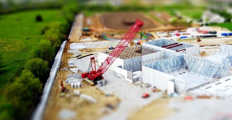
Our topographical surveys deliver high-precision mapping essential for construction projects, urban planning initiatives and land development. We specialize in detailed contour mapping, elevation modeling and comprehensive terrain analysis that provides the foundation for informed decision-making. Our 3D mapping and digital twin technology represents the future of asset management, creating detailed 3D digital models for infrastructure and industrial assets. These advanced digital representations assist in predictive maintenance strategies and comprehensive asset management, enabling organizations to optimize operations, reduce costs and enhance safety protocols through data-driven insights.
Our systematic approach ensures the delivery of precise surveying and mapping solutions tailored to your specific project requirements and objectives.
Comprehensive evaluation of mapping requirements and development of customized surveying strategy
Advanced surveying techniques and precision instruments for accurate topographical data capture
Processing collected data into detailed 3D models and digital twin representations for analysis
Comprehensive analysis, reporting and implementation of predictive maintenance strategies