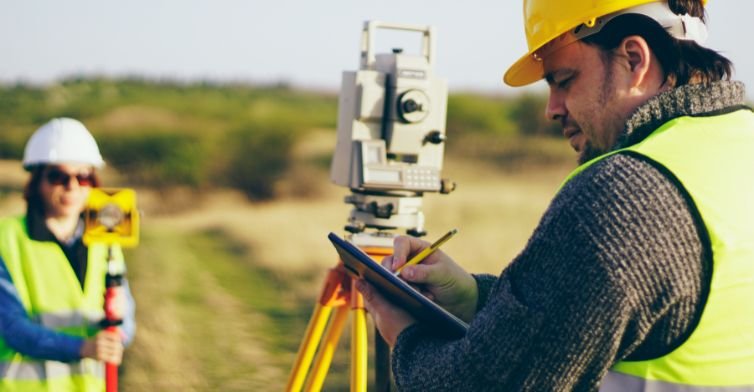
At Globe View Technologies Pvt Ltd, we specialize in high-precision drone-based surveying solutions that enhance efficiency, accuracy and safety across various industries. Our advanced technology provides detailed geospatial data for infrastructure projects, urban planning, industrial monitoring and more.
Our comprehensive drone-based solutions provide accurate measurement and assessment for critical infrastructure across multiple sectors.
Our drone-based measurement solutions revolutionize how infrastructure projects are monitored and managed. For dams and bridges, we provide structural integrity assessments, deformation tracking, crack detection, and erosion monitoring using advanced 3D modeling and digital twin technology. Our railway and road surveying services include track inspections for alignment and wear analysis, highway infrastructure mapping, progress tracking and comprehensive tunnel and overpass assessments for potential risks. Additionally, we offer specialized garbage mountain and dumping yard assessments with height measurement, volumetric analysis of landfill sites, monitoring of landfill expansion and environmental impact and data-driven waste management planning.
Our streamlined process ensures efficient delivery of high-precision drone-based surveying solutions from initial assessment to final reporting and analysis.
Comprehensive evaluation of surveying requirements and optimal drone deployment strategy
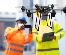
Advanced drone technology for precise measurement and high-resolution geospatial data capture
Creation of detailed 3D models, digital twins and comprehensive data analysis for actionable insights
Detailed reports with geospatial data, structural assessments and strategic recommendations